
Topography and Bathymetry
Learning Goals
- Define “topography” and “bathymetry”
- Learn about Earth’s large-scale “hyposometry”: its distribution of elevations.
Podcast
Images
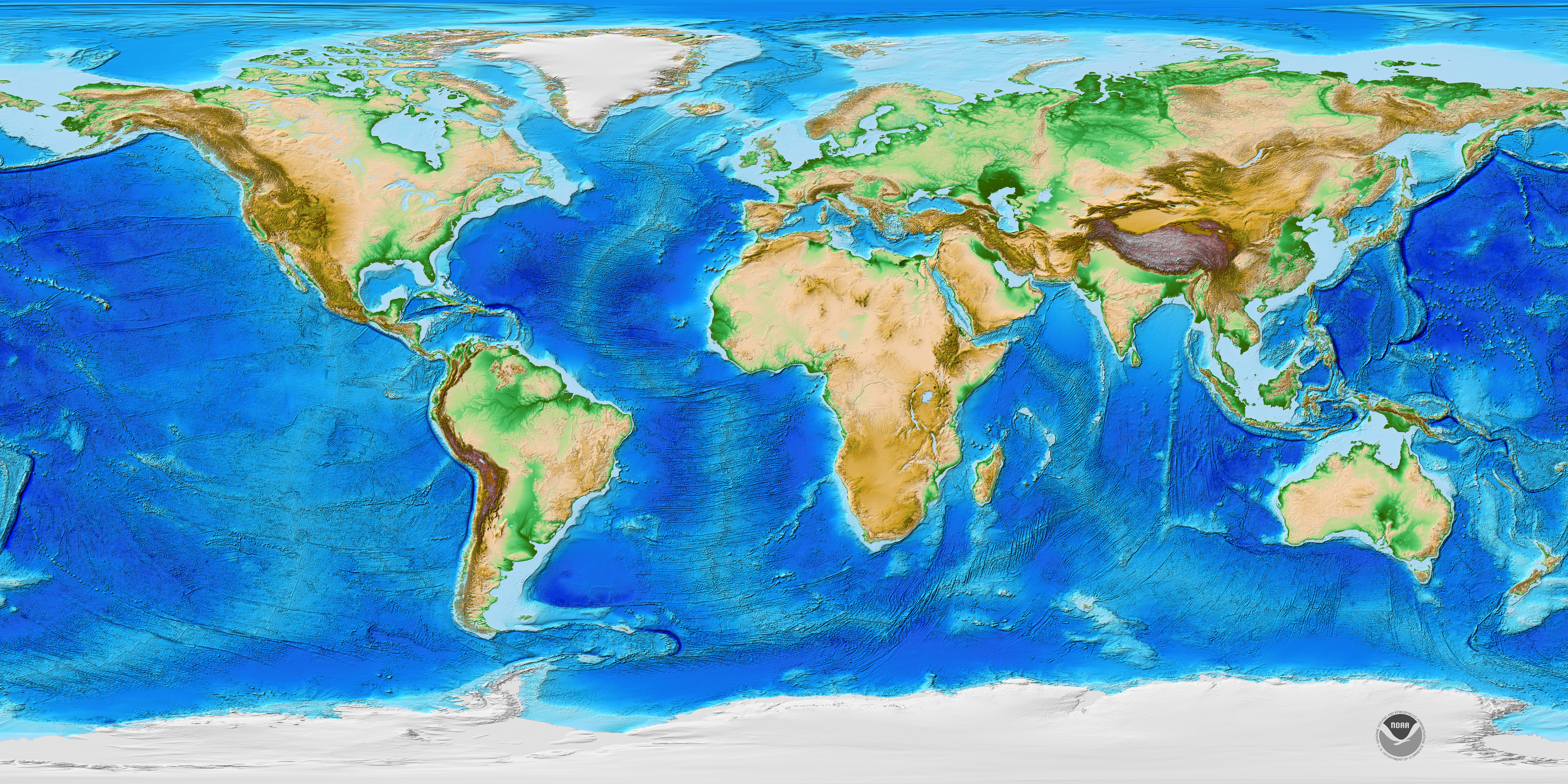 ETOPO1 topography + bathymetry (NASA)
 From Robert Stern, UT Dallas. Earth’s hypsometry is bimodal, split between the deep ocean basins and the high continents. Think about how plate tectonics produces this, and how this may make us unique when compared to other planetary bodies.
Video
MinuteEarth and its companion, MinutePhysics, have fantastic quick descriptions of important observations and processes in the natural world. (They are also made in Minnesota!)
After looking at Earth’s hypsometric curve and thinking about why it has a double-humped structure (and perhaps jotting down a possible reason why), check out this video to see how it compares to other planets in our solar system:
Google Expeditions 3D/VR
Purely for your own fun! We will not be focusing too much on bathymetry in this class, but if you want to see the kinds of ships that take scientific measurements, check out this VR tour of the Research Vessel Sonne.

This work is licensed under a Creative Commons Attribution-ShareAlike 4.0 International License.